Welcome to the OceanCanada Atlas
The OceanCanada Atlas is a collection of maps containing key items of interest related to the OceanCanada Partnership Research Project. Please use the menu at the top or select from the gallery of items below. For more information, please see the Help section. For access to any data used to create our maps, please see the Data and Tools section. Continue to Overview The OceanCanada Atlas is under constant development. Please contact us to contribute. Contact
OceanCanada Overview
The OceanCanada Overview map is a useful general reference point to find the locations of everything associated with the OceanCanada Partnership in broader/less specific detail. OceanCanada OverviewHQP Map
Regional WG Maps
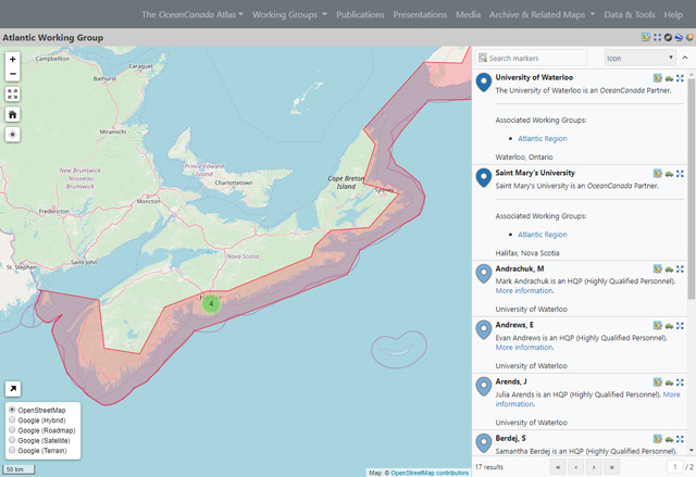
A series of maps containing points of interest, presentations, events and media relevant to our regional working groups;
National WG Maps
A series of maps containing points of interest, presentations, events and media relevant to our national working groups;
- Knowledge Mobilization (View map)
- Law and Policy (View map)
- National Data and Integrated Scenarios (View map)
Archive & Related
A series of maps produced throughout the History of the OceanCanada Partnership. Maps include:
- View Living Oceans Map
- View Historical HQP Map
- View Climate Atlas
- View LEO Network
- View Arctic Atlas (GCRC)
Publications, Presentations, Media
Specific maps related to OceanCanada Partnership Publications, Presentations, and Media items.
- View Publications
- View Presentations
- View Media
- View Further Media Coverage (leave Atlas)
Data/Tools and Help
A set of tools to export data from the OceanCanada Atlas, including API and GeoJSON access. View Data & Tools A tutorial explaining how to use the OceanCanada Main Atlas interface. Click for Help
Contact Us
× Contact Duncan Burnside d.burnside@oceans.ubc.ca Close